Topographical Surveys

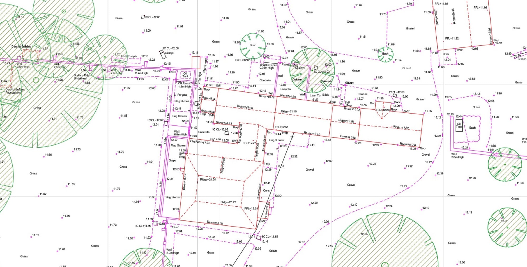
A Topographic survey is an accurate measurement and recording of a site’s physical features. The survey will capture the levels across the survey area, and also the ground features within it.
For example, these can be things Surface finishes, grass, tarmac etc, walls, boundary’s, kerbs, Trees, manholes, street furniture and a buildings footprint along with its ridge and eaves heights.
A Topographical survey will give architects the information they require to start to develop a scheme on a site.
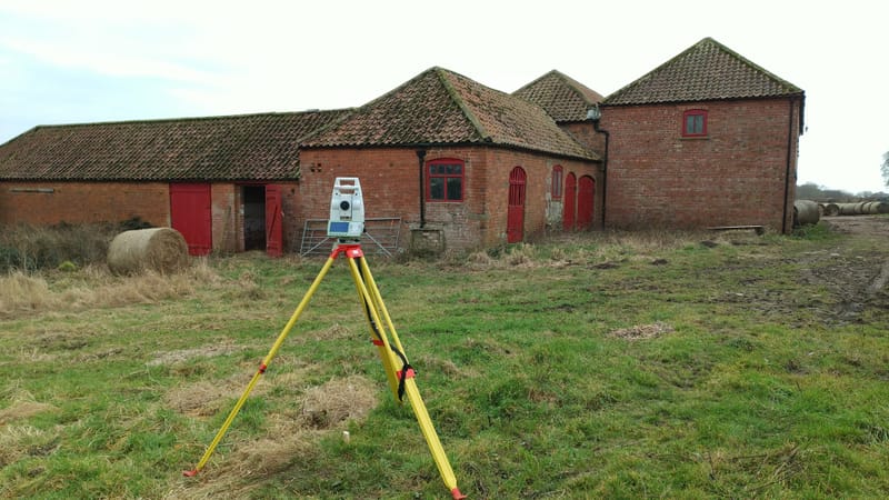
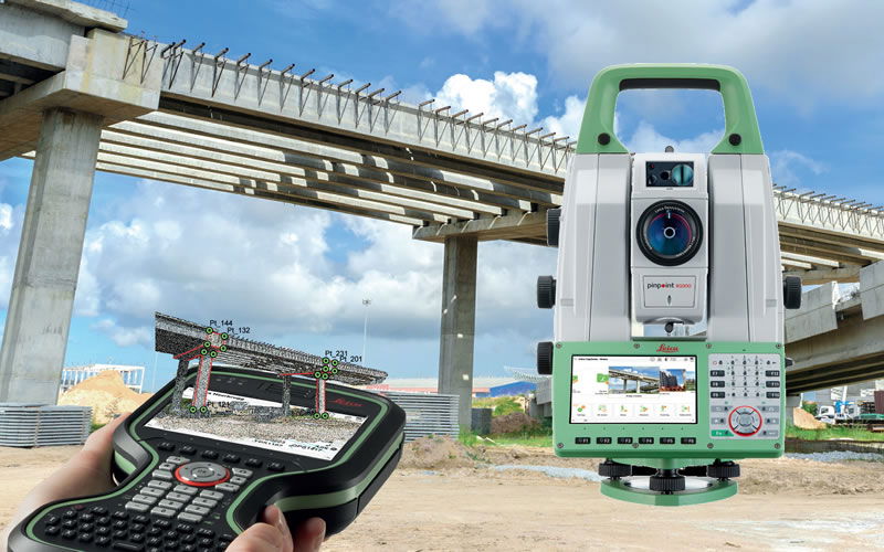
The latest Leica Captive Total Station Instruments are used to collect data during the survey, a post-survey analysis of the data is then carried out with N4ce software and drawings are produced in CAD format. Drawings are drawn to scale and can be provided in a number of different formats, the most common being DWG and PDF.
 |  |


